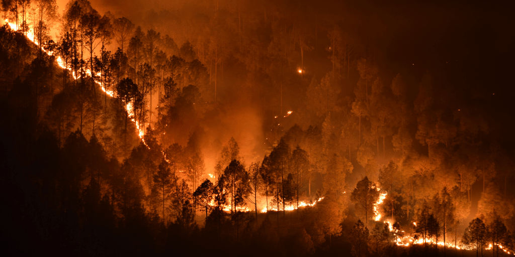
A new feature of ForestMap is the addition of a fire module, bringing the full potential of LiDAR to assess vegetation structure and thus to characterise the fuel model.
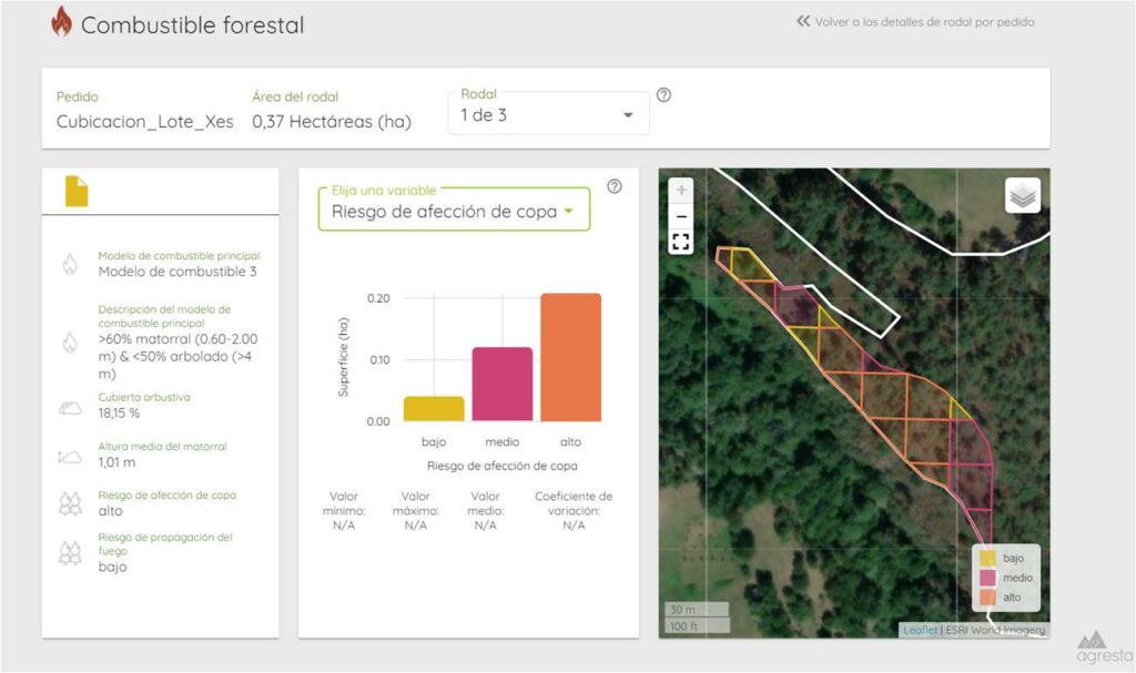
The Prometheus model has been used for fuel classification in order to have a homogeneous classification applicable to all countries. Country-specific models will be used progressively, according to the type of classification most commonly used.
The fire risk and fuel model type is assigned to each stand. A more detailed level of distribution can be reached for each 20×20 cell and its spatial distribution can be analysed. This module provides basic information to study possible forest management actions and to modify the fuel model according to the observed risk.
While this information is essential for countries such as Spain, Portugal, Italy and southern France, where we have pilot cases available, it can also start to be quite useful in countries where fires have not been a problem until now, such as Germany, Slovenia or Finland, where ForestMap is also present.