The inventory of the pilot area in northern Portugal, covering about 12,900 ha in the municipalities of Mondim de Basto, Amarante and Celorico de Basto, is being finalised. We have preliminary results that we are checking, correcting and refining.
After a data capture flight in June 2020, two field data collection campaigns were carried out, with plots in maritime pine and eucalyptus strata. This past year, field visits were complicated and had to be postponed several times due to pandemic-related restrictions.
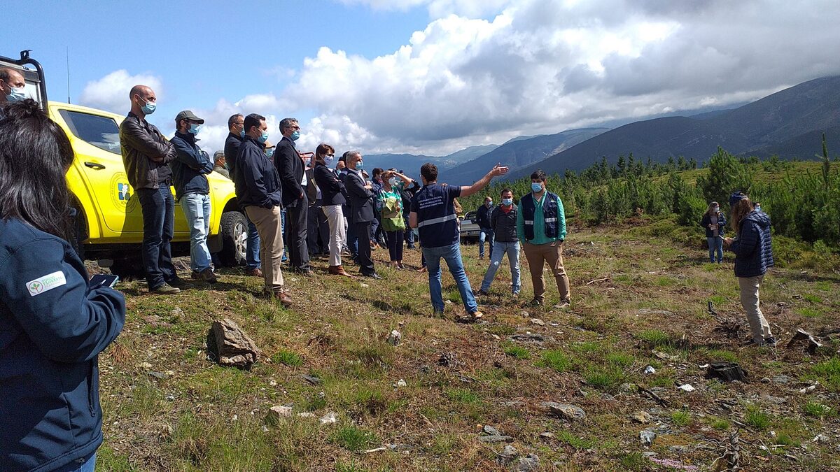
We have recently participated in two workshops organised by our partners in this pilot project. One of them was a face-to-face conference on 19th June, to which we were invited by Baladi, as part of a meeting of Baladi groups, attended by the Portuguese Secretary of State for the Conservation of Nature, Forests and Spatial Planning.
We participated in the field visit in the morning and, in the afternoon, within a wider programme of conferences on “Baldíos”, we had a space to present the LiDAR inventory carried out in the pilot area, where a high proportion of properties are “Baldíos”.
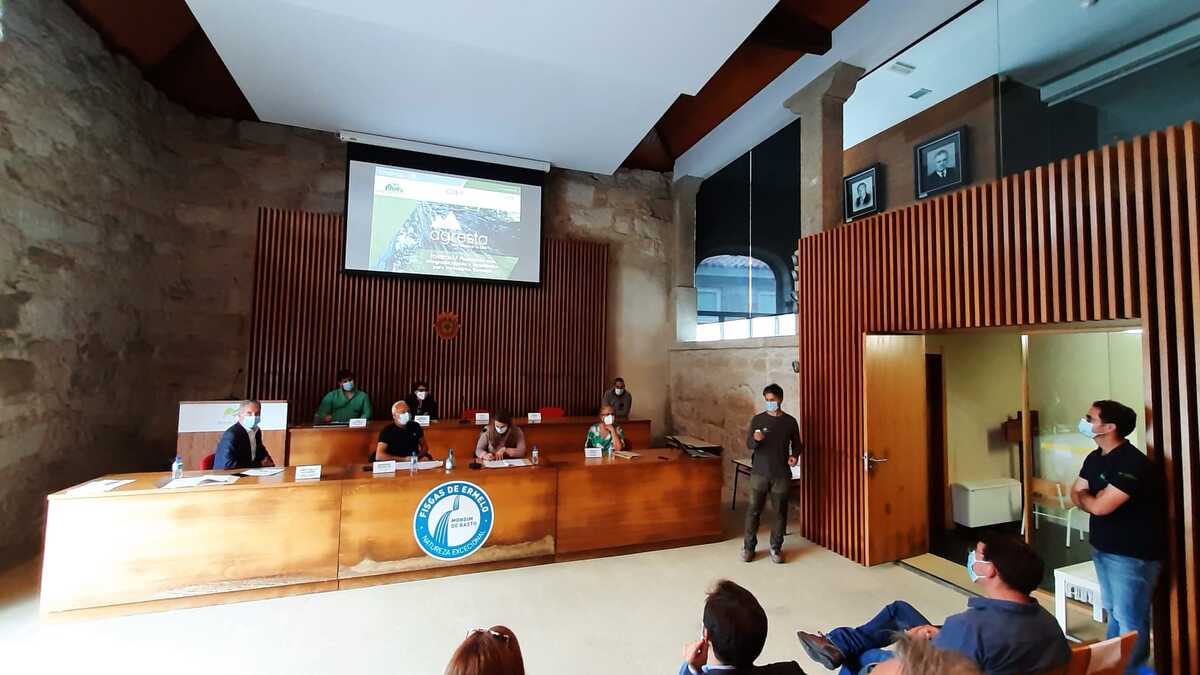
The “Baldíos” are a very particular type of property; they are communal properties that belong to the neighbours. We could say that they are the equivalent to the neighbourhood common lands that are so common in Galicia.
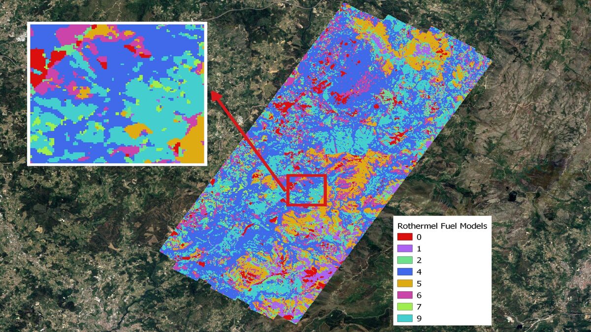
On 30th June a conference organised by Centro Pinus took place within the framework of the pilot project to present the first conclusions on the results we are obtaining from the inventory and to hold a dialogue with the participants. The event was planned to be held in person but finally had to be held on-line due to complications caused by Covid in Portugal. One of the most interesting uses of this work is the fight against forest fires, since in this pilot project a basic cartography of fuel models is being elaborated, with a demonstrative character.
LiDAR technology makes it possible to analyse the structure of the vegetation throughout the study area, which is of great value for decision-making on the prioritisation and location of prevention work, both for forestry interventions and for the creation and maintenance of infrastructures.
The results of this inventory will be made available on the ForestMap platform by the end of 2021 through a specific access model for each type of user.


Comments are closed.