Meeting on 22 March 2022 at 17.30 among forestry professionals on the practical applications of airborne Lidar and remote sensing (registration required) Hybrid format: Bordeaux Sciences Agro (Gradignan, 33) and online
Context:
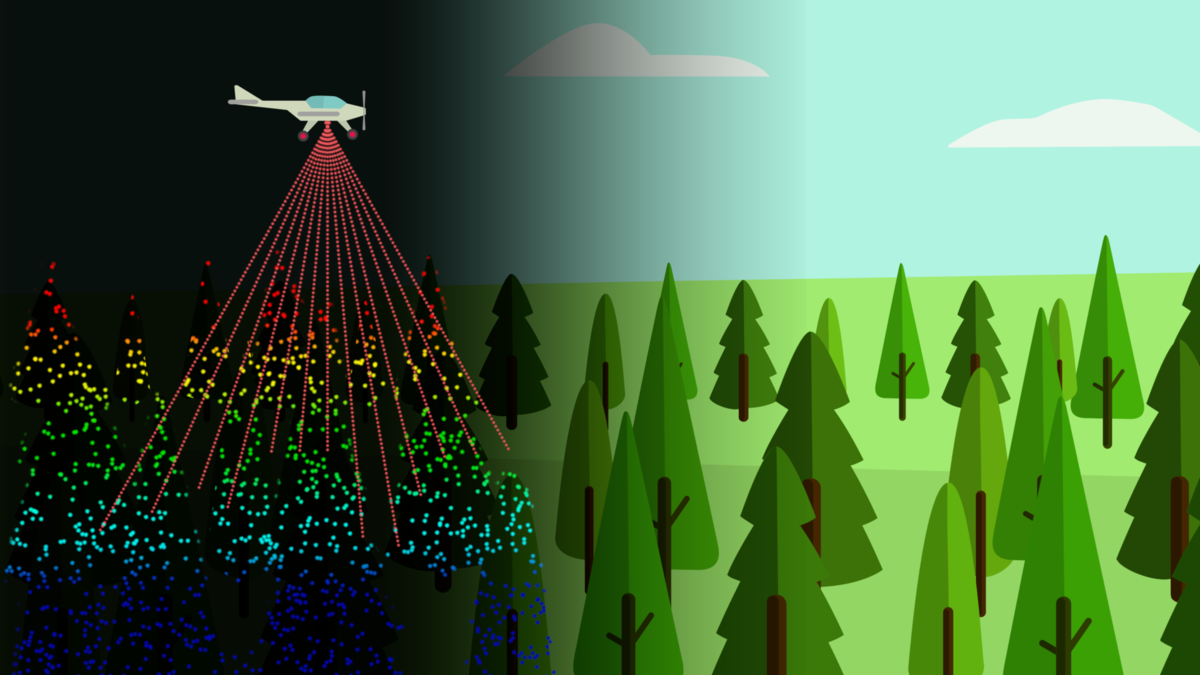
With the Lidar HD programme, France is launching a national Lidar coverage project to provide a very precise 3D description of its territory; an unprecedented opportunity to generate high added-value forest data.
A pilot forest inventory study has been carried out in the Landes region using airborne Lidar to show the benefits of these technologies for the forestry sector, whether owners, managers, operators or industrialists. To exploit this new source of data, a change of approach and specific know-how is required.
Objectives of the session :
Exploitation of the national HD Lidar coverage programme in France for the forestry and timber sector.
To learn about the opportunities and practical uses of Lidar and remote sensing for forest agents (owners, managers, operators or industrialists…).
To observe a specific case of aerial Lidar application in the Landes region in a pilot area of 5000 ha: continuous forest inventory, silvicultural prescriptions, fire risk mapping, carbon storage, disturbances, etc.
Programme :
- 17h30: Presentation
- 17:45: Introduction to Lidar and remote sensing technologies for the forestry and timber sector
- 18h00: Presentation of the Lidar pilot study and its results
- 18:15: Discussion
- 19:00: Next steps and conclusions
Registration required (in person or online): Link Form
Ubicación: Bordeaux Sciences Agro 1 Cr du Général de Gaulle, 33170 Gradignan,
Upon registration, a link will be sent to participate online.
For further information, please contact David García Castillo (dgarcia@agresta.org).
About the stakeholders and the pilot project
This case study was carried out in the framework of a European EMS H2020 project, FORESTMAP. This project aims to develop and promote the use of Lidar data in the European forestry sector in collaboration with the actors of the value chain. Seven case studies were carried out in different countries (Portugal, Spain, Italy, France, Slovenia, Germany and Finland).
In the Landes, in the absence of recent Lidar data, a manned flight over the target area was conducted in 2021 (airborne Lidar). Field forest data (diameters, heights, density, silvicultural description) were collected on 70 plots located with a sub-meter GPS.
The data processing was carried out by Agresta S.Coop, a Spanish company specialized for more than 10 years in the valorization of forest Lidar data (in Spain and other European and American countries). This study was carried out in collaboration with the company SylGéCo, based in Castets (40). The forest data obtained feed the ForestMap digital platform. Users with different profiles can access a specific area where the information will be displayed.